
Gravel Biking on North Stradbroke Island
Activities:
Location:
Sealink Terminal or Stradbroke Flyer Terminal - Middle St, Cleveland. You can also check out our Adventure Map for the ferry departure and arrival locations.
Description:
I have been visiting North Stradbroke Island (Minjerribah) since I was a young kid. Our annual family holiday involved packing up the car for a week of sun, swimming, and arvos at the old straddie pub. And one time there was also the bogging of a hire 4WD in the flagged area on Main Beach, back when the public vehicle beach access was from the SLSC and necessitated a nervous drive across the soft sand and through the sunbaking masses. For these reasons I have a great fondness for everything this particular Moreton Bay island has to offer.
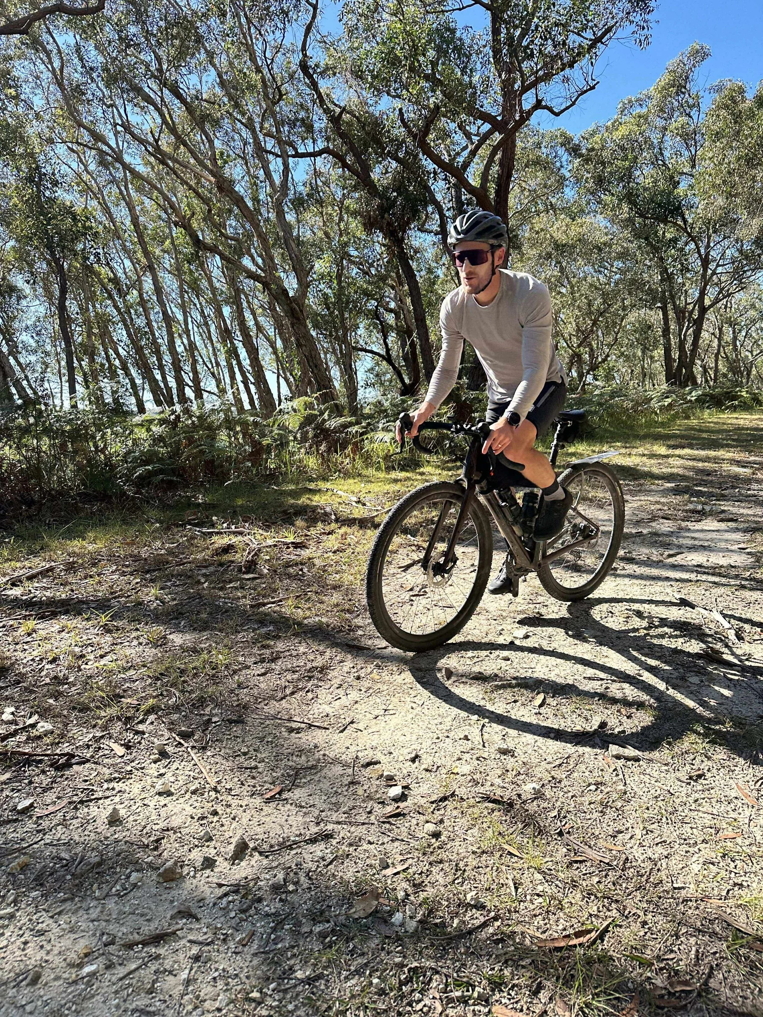
I’ve done this loop a few times now, and it’s always a blast. It’s a mix of sealed road, the beach, sand tracks and gravel access roads, and takes in all three of the island’s main townships (Dunwich, Point Lookout and Amity Point).
The first thing to do before planning this adventure is to check the tide times. Coming from the mainland, our aim is always to have caught the water taxi and ridden west-to-east across the island so that we arrive at Main Beach on the outgoing tide (ideally an hour or so before). The tides dictate the time of day when this loop is at its most fun.


Riding the Island - The Route
Park at Cleveland, then catch the water taxi - with our bikes - from Cleveland across to Dunwich.
On arrival we may grab a bite to eat at the Straddie Island Bakery if it coincides with breakfast. Otherwise we’ll stay on the bikes and start heading across the island.
The route starts by following the reasonably hilly Alfred Martin Way, which winds its way up, down and across the island from Dunwich to the east coast.
OPTIONAL EXTRA: depending on the make up of the crew (and whether they’ve been to Straddie before), we will often take the short detour to Brown Lake. It’s usually too early in the ride for a swim, but it’s a nice spot.
Alfred Martin Way is sealed and easy to follow, eventually leading you directly to Main Beach (including the detour to Brown Lake, you hit the beach at about 15km ride distance). When you hit the beach you’ll need to hike-a-bike across the soft stuff and down to the hard sand, turning left to head north up the island. Assuming you got the tides right, there will be a good expanse of firm sand that is super easy riding. Even better if a southerly wind is blowing!
After riding up the beach for about 5-5.5km, it’s worth detouring up into the dunes via a 4WD access track that takes you in to the keyholes - a collection of freshwater lakes that are generally clear and refreshing. Depending on how hard you’ve been riding, they’re a perfect spot for a swim.
After checking out the keyholes, head back to the firm sand and continue riding north. After another 5km or so you’ll arrive at the top end of Main Beach - hike your bike up the beach stairs and check out the views from the headland.
We then jump on Mooloomba Road and usually only ride for a few hundred metres until we arrive at the cluster of cafes nearby the North Gorge access area. There’s enough of a choice here, or you can continue on just a little further and there’s The Blue Room Cafe on the corner of Mintee Street - a great spot for a bite to eat and a coffee while looking for whales.
When you’re done relaxing at Point Lookout, jump back on Mooloomba Road and continue heading west. Somewhere on the hill between Cylinder Beach and the Stradbroke Island Beach Hotel (straddie pub) this road becomes Dickson Way, but you don’t need to turn on to this at all - it just happens.
OPTIONAL EXTRA: there are plenty of diversions to to the north as you make your way through and out of Point Lookout. There’s a series of beaches - Frenchmans, Deadmans, Cylinder and Home - if you want to check them out on your way through. Cylinder and Home have the easiest access with bikes.
Continue following Dickson Way west and you will pass the Point Lookout Roadhouse on your right before the road sweeps to the left and becomes East Coast Road (again, still the same road, just yet another name!).
Not too far along East Coast Road you’ll see Point Lookout Road on your right-hand side (at least, that’s what this road is called on Google Maps). It’s not really a road though, as pretty soon after getting on to it it becomes a gravelly/rocky/sandy track that serves as an access easement. It’s pretty fun riding though, with bush on one side and a marshy area on the other. Follow this until it ends.
At this point, hang a right onto Flinders Beach Drive and follow this sealed road until it becomes a firm sandy track. This track winds through the bush and drops you out on to Flinders Beach. Again assuming you’ve planned the tides, you should still have plenty of firm sand to ride on as you turn west (left) and once again enjoy pedalling down the beach.
Depending on conditions, your exit off Flinders Beach will vary - we always continue riding west for as long as possible and then look for a track up off of the beach. We’ve done this differently every time. Regardless, you eventually want to find your way to Ballow Street which takes you through the Amity township. We’ve had a great serve of hot chips at the Amity Point General Dealers on more than one occasion.
Heading from Amity back to the main road is my least favourite part of this ride - it’s undulating and the road verge isn’t great. The roads you need are Claytons Road, right into Beehive Road, and then follow this back to East Coast Road. For the observant ones, you’ll notice that the Claytons/Beehive intersection is not too far from where you exited the gravel road earlier on.
Once you get back to East Coast Road, you’ll turn right (west) and begin your return to Dunwich. This section is all sealed, but there’s a pretty good road verge.
OPTIONAL EXTRA: as you approach Dunwich, the Myora Conservation Park is on your right hand side. This area is of considerable indigenous significance, and it’s worth stopping to have a look at the freshwater spring here.
That’s about it. If you follow the main road, it will take you back to Dunwich where you can hop on the water taxi back to the mainland. Before doing so however, we always make sure to leave time for a beer at either the Little Ship Club or Straddie Brewing Co. Little Ship Club is the nostalgic pick - where you can enjoy a schooner on the grass looking over the bay - but Straddie Brewing Co. is the pick if you’re looking for a solid locally-brewed ale.


Useful Information
Route: GPX FILE
Water taxi options: Sealink / Stradbroke Flyer
Post-ride beers: Straddie Brewing Co. / Little Ship Club